Precision Crop
Water Management
A Decision Support Tool for Managing Crop Water Status

Data Modelling
This website contains tools based on two models:
The Water for Crop – W4Crop – model and the Sample4Crop model were developed within the SHui Horizon 2020 project, a multinational European-Israeli-Chinese research endeavor to develop soil and water management solutions to manage water scarcity in European/Middle Eastern and Chinese cropping systems, and within a project funded by the Chief Scientist Office, Israeli Ministry of Agriculture developing AI-based decision support systems for spatial sampling of agricultural plots.
The models were developed as a cooperation between TerraVision Lab, Israel and the Israeli Agricultural Research Organization (ARO – Volcani Institute)


Mission Statement
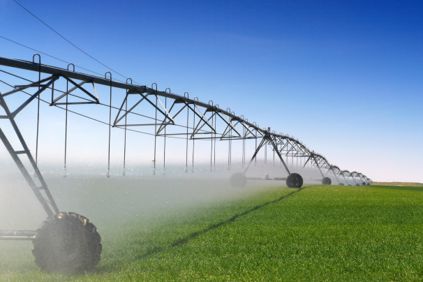
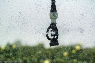
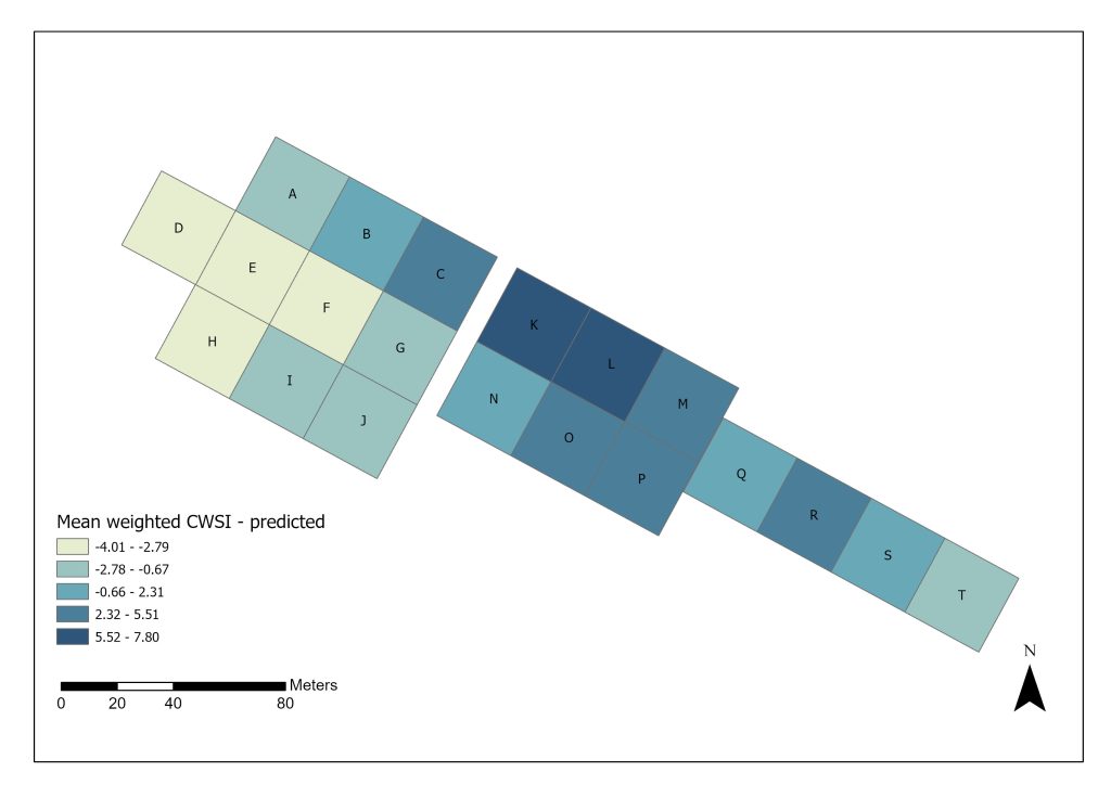
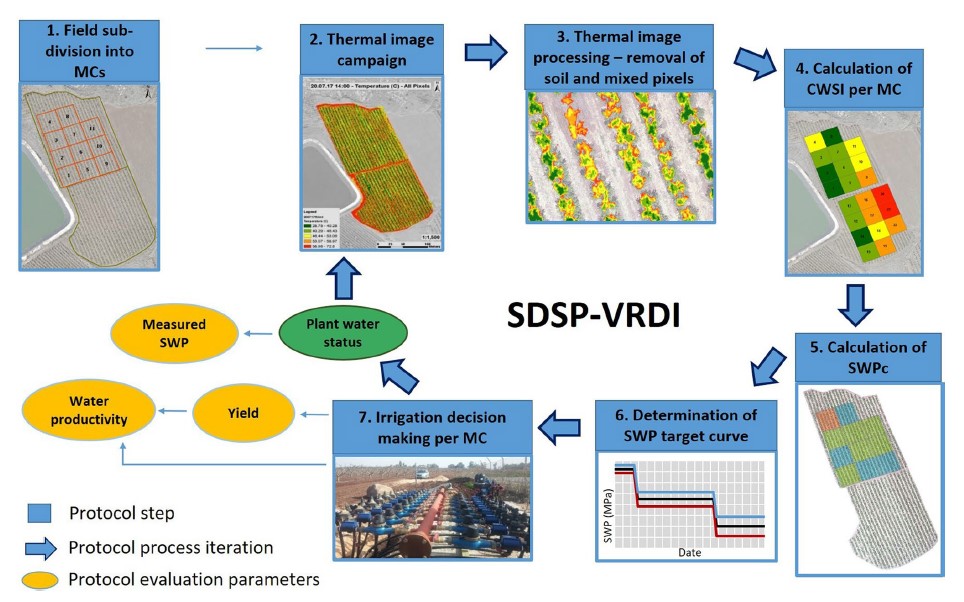
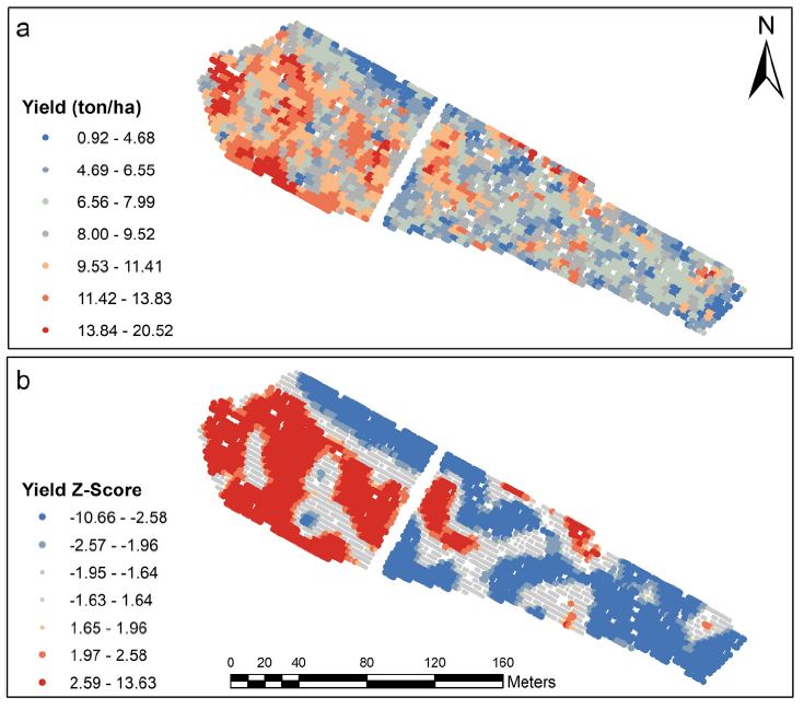
The aim of the W4Crop model is to predict the spatial variability in crop water status by using a user-friendly site-specific tool. Currently, the model focuses on predicting the spatial variability of Crop Water Stress Index (CWSI) of single plants or trees, or of management zones, by predicting the distribution of z-transformed CWSI values, to optimize precision water management.
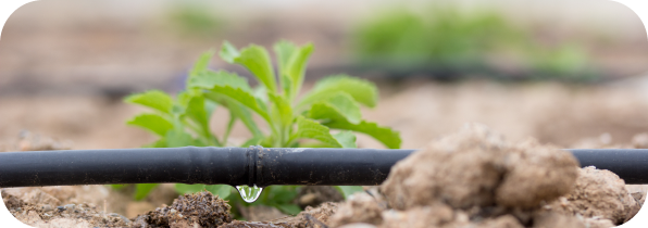
The aim of the Sample4Crop model is to produce spatial sampling maps for optimizing the distribution and number of samples or sensors within an agricultural field.
Both models are based on advanced machine learning and spatial statistical algorithms to identify the spatial variability in the field, to support the sustainable management of water, proximal sensing, sampling resources and crop production, and to secure economic viability.
Research

SHui, an EU-Chinese cooperative project to optimize soil and water management in agricultural areas in the XXI century

A weighted multivariate spatial clustering model to determine irrigation management zones

Getis–Ord’s hot- and cold-spot statistics as a basis for multivariate spatial clustering of orchard tree data

A spatial machine-learning model for predicting crop water stress index for precision irrigation of vineyards

How do spatial scale and seasonal factors affect thermal-based water status estimation and precision irrigation decisions in vineyards?

How Sensitive Is Thermal Image-Based Orchard Water Status Estimation to Canopy Extraction Quality?

A spatiotemporal decision support protocol based on thermal imagery for variable rate drip irrigation of a peach orchard

A multifunctional matching algorithm for sample design in agricultural plots

Spatiotemporal normalized ratio methodology to evaluate the impact of field-scale variable rate application

Using Time Series of High-Resolution Planet Satellite Images to Monitor Grapevine Stem Water Potential in Commercial Vineyards

In-Season Interactions between Vine Vigor, Water Status and Wine Quality in Terrain-Based Management-Zones in a ‘Cabernet Sauvignon’ Vineyard

SHui, an EU-Chinese cooperative project to optimize soil and water management in agricultural areas in the XXI century

A weighted multivariate spatial clustering model to determine irrigation management zones

Getis–Ord’s hot- and cold-spot statistics as a basis for multivariate spatial clustering of orchard tree data
- 1
- 2
- 3
- 4
- 5
- 6
- 7
- 8
- 9
- 10
- 11
Our Team
We are a team of scientists and industry entrepreneurs dedicated to developing state-of-the-art tools to support the farming community in vital decision-making processes.

The Agricultural Research Organization (ARO)
Volcani Institute is a leading Israeli agricultural research institute that focuses on plant sciences and protection, animal sciences, soil and environmental sciences, food sciences and agricultural engineering.

TerraVision Lab
Terravision Lab is a high-tech company with global experience in developing decision support systems for managing increasingly limited resources, predominantly in water-scarce regions.

Elchanan Vol
Software and Web Developer
specializing in backend development, data processing, and
machine learning pipelines.