Data Modelling
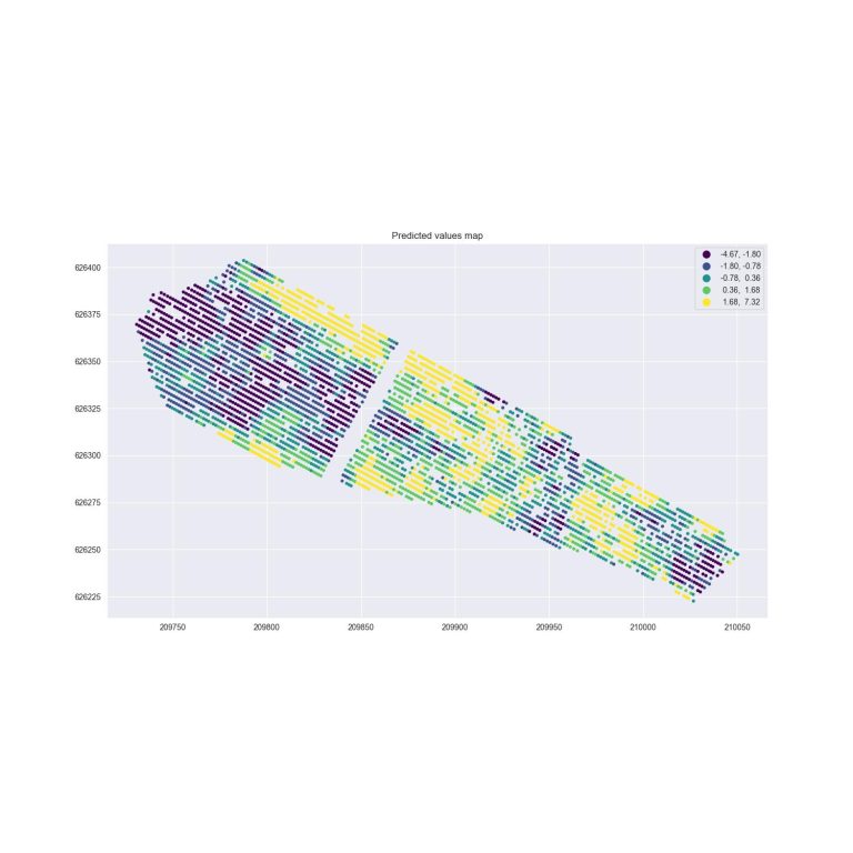
The Water Status tool is based on the W4Crop model and combines a random-forest (RF) algorithm and spatial statistical methods to create a spatial machine learning (SML) model to predict the spatial variability in crop water status of single trees in an orchard, or of sampled locations in a field. By combining spatial statistical methods and addressing spatial autocorrelation, the model accounts for the spatial structure, which enhances the model’s performance with predictions of higher accuracy. This tool can increase in-season frequency of water status maps for precision irrigation.

Upload Files
Make sure your data format meets the requirements. See an example dataset.
only csv files are allowed
FAQs
The Crop Water Stress Index (CWSI) is a relative measure of water status or stress derived from thermal data of leaves in a plant canopy. UAV mounted thermal cameras allow high precision spatial measurements of canopy temperature and consequential calculation of the normalized CWSI using time-corresponding ambient air temperature data. CWSI can be used as a proxy in irrigation decision making processes that today depend on manual measurement of plant or tree water status as leaf or stem water potential using pressure chamber techniques.
Machine learning models are “data hungry” models and as such depend on big data. Insufficient input data will result in lower accuracy in the predictions. If you collected field data you can compare it with the predictions to derive the accuracy of the predictions.
Currently you have to insert the minimum required variables. We are working on future updates of the model and tool that will allow you to predict additional variables such as yield and soil water content and insert more variables such as yield, trunk diameter, soil chemical properties, soil water content and soil depth.
We are working on future updates of the model and tool that will allow you to predict additional variables such as yield and soil water content. Sign-up and we will keep you updated when new models are released.
Uploading a Management Zones (MZ) shapefile is optional for calculating the average predictions per each MZ. The tool outputs by default the prediction values for each tree or sampling points.
Using the tool is free of charge and accessible for all.
You can access the links to the published peer-reviewed publications which appear on the homepage in order to find out more information about the algorithms used in this model and the tool.
If you are interested in a workshop please drop us a note…
FAQs


